
Visualize more with insight & intelligence delivered directly to GIS environment.
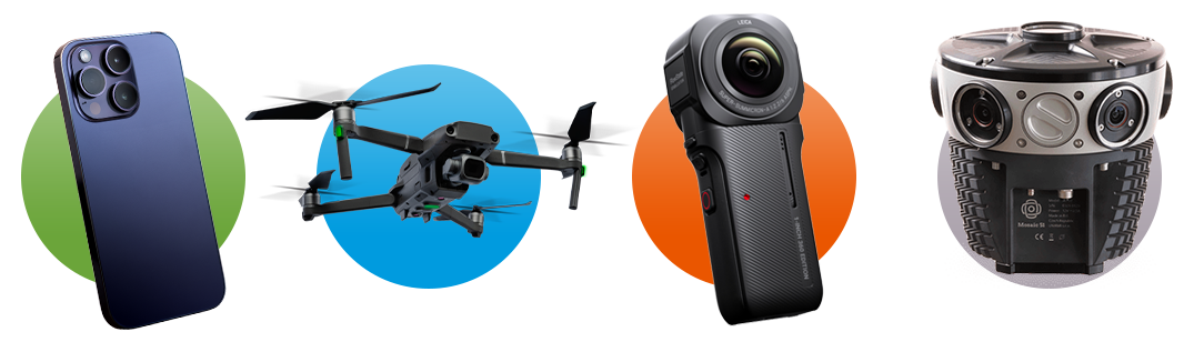
Capturing and integrating every piece of remote sensing data—from drones, 360° cameras, and mobile devices—is the fastest way to achieve organization-wide clarity and transform your workflows.
The era of disparate, disconnected imagery data is over.
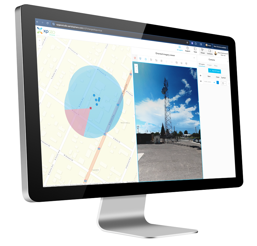
If you’re tired of expensive subscriptions, data siloing, and field inspection processes that leave your maps out-of-date, XPGEO Studio is your solution. Our easy-to-use, web-based software transforms your raw inputs into actionable, ArcGIS-native content, instantly.
Create content in minutes, not hours
Are you still manually converting raw imagery from drones and 360° cameras? Or perhaps a wealth of visual insight is currently sitting untapped, captured but never integrated, and lost to memory on smartphones and storage devices. XPGEO Studio instantly transforms raw data from popular remote sensors and smartphones into GIS-ready Oriented Imagery data. Zero friction, maximum speed.
Lives natively in Esri ArcGIS
No more third party viewers or expensive subscriptions to integrate specialized imagery into your maps. The content you create is instantly publishable and fully compatible with ArcGIS Online and Enterprise. Advanced visual data, zero compatibility headaches.
Keep your data fresh
Minor updates can lead to major headaches. Instead of recreating detailed base models, simply empower field teams to document repairs and other changes in the field and bring them into XPGEO. Users can edit attribute tables in real-time and instantly append new images to existing OI content. Your data is only as fresh as your last inspection.
Ready to see what you've been missing?
Unlock the full power of cameras, drones, and other non-orthographic imagery, all managed seamlessly inside a native ArcGIS experience. Get more visual data, faster, without steep learning curves or expensive hardware.